Old Villages of Mira Bhayandar: The Settlements Behind the City
Explore the village roots of Mira Bhayandar and learn how older settlements became part of a growing Mumbai suburb.
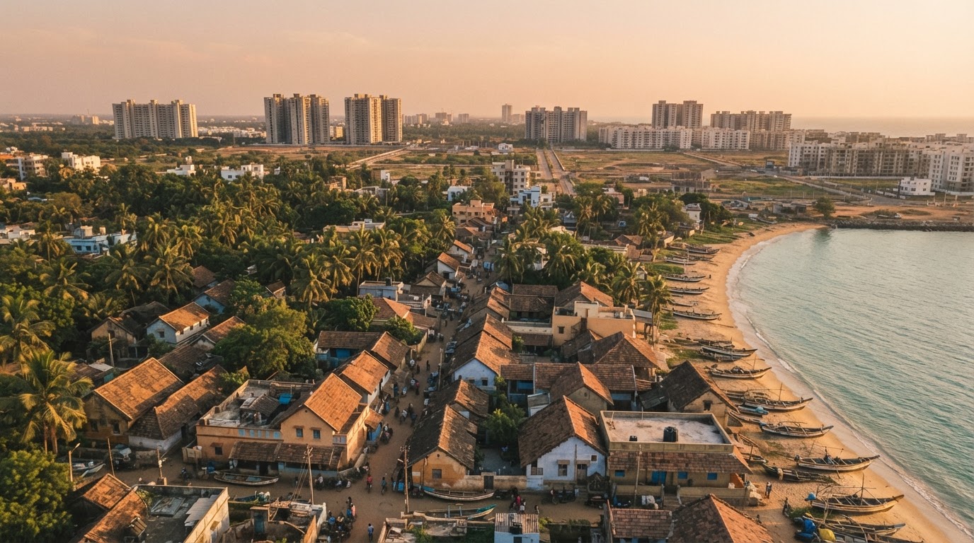
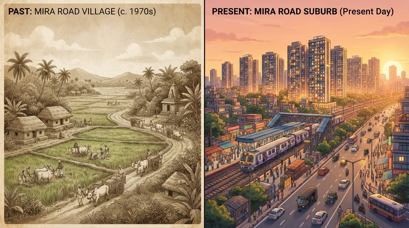
Today's Mira Bhayandar includes residential societies, commercial streets, transport connections and neighbourhoods with very different characters. Yet the wider area did not begin as one continuous urban settlement. Its development involved older villages that gradually became part of a shared municipal and metropolitan landscape. Understanding these villages is essential to understanding the region's history.
A city formed from multiple settlements
The official history of Mira Bhayandar Municipal Corporation records that the municipality was established on 12 June 1985 through the merger of five village panchayats: Bhayandar, Navghar, Mira, Kashi and Ghodbunder. The same municipal history records that four more village panchayats — Rai-Murdhe, Dongri, Uttan and Versova — were included on 23 January 1990.
These dates mark important stages in the formation of the wider municipal area. They also show that modern Mira Bhayandar developed through the integration of several settlements rather than through the expansion of one village alone.
Mira: a name that became a suburban identity
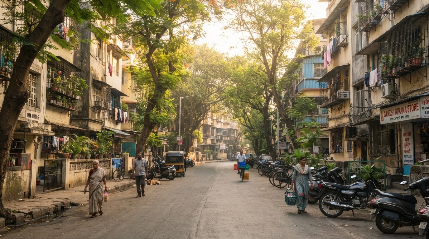
Mira is one of the older settlement names recorded in the municipality's formation history. As the region urbanised, the name became associated with a much larger suburban area. To understand the exact relationship between the historic village and the present-day neighbourhood, researchers need to compare historical village maps with modern municipal and revenue boundaries.
The boundaries people use in everyday conversation do not necessarily correspond to historical administrative boundaries. The modern locality may extend well beyond the original village.
Bhayandar: an older settlement within the growing city
Bhayandar is another settlement named in the municipality's formation history. Today, Bhayandar East and Bhayandar West are widely used neighbourhood names. Their modern urban character reflects changes in housing, transport, commercial activity and civic infrastructure over time.
The older settlement history remains relevant because municipal development has had to accommodate different neighbourhoods, their existing infrastructure and their changing needs. A complete history of Bhayandar should examine its local land records, historical maps and community traditions rather than assuming that its development followed exactly the same path as Mira Road.
Navghar and Kashi
Navghar and Kashi are also named in MBMC's official account of the original village panchayats. Their inclusion helps demonstrate the variety of settlements that formed the municipal area. For researchers, these names provide a starting point for locating old maps, land records and local histories. They can also help identify the origins of neighbourhood names that remain in use today.
The precise historical boundaries, settlement dates and etymologies of these places require separate evidence. A village name in a municipal record is a starting point, not a complete history.
Ghodbunder and the region's wider historical landscape
Ghodbunder is named in the municipal history and is associated with the wider region's historic landscape. The nearby Ghodbunder Fort is documented by Maharashtra Tourism as a Portuguese-built fort dating to the 16th century. It later became an important military location before being captured by the East India Company.
The fort provides a historical connection to the wider Thane region, but its history should not be confused with the founding history of Mira Road itself.
Uttan, Dongri and the coastal settlements
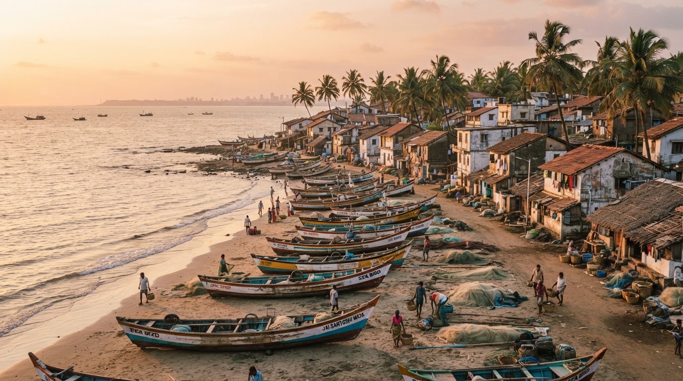
Uttan and Dongri are included in MBMC's record of settlements brought into the municipality in 1990. These places form part of the wider coastal landscape around Mira Bhayandar. Coastal settlements can have different histories from the more densely urbanised parts of the suburb. Their local identity may be connected to the coast, traditional livelihoods, religious sites and community relationships.
A detailed account of Uttan or Dongri should use local historical records and interviews rather than assuming that the history of the entire municipality is uniform.
The municipal planning department also identifies Uttan and Dongri among the revenue villages for which MMRDA was appointed Special Planning Authority under a government order dated 1 December 2007. That administrative detail illustrates how planning responsibilities can vary across different parts of the wider area.
How village settlements became an urban area
As population and development increased, the region needed broader coordination of public services and infrastructure. Municipal administration provided a structure for dealing with common civic responsibilities across multiple settlements. Later development planning also established frameworks for land use, roads and public facilities.
MBMC records that its development plan for the main area was approved in 1997 and came into effect in July that year, with a separate plan for excluded areas coming into effect in October 2000. These are important administrative milestones, but they should not be interpreted as the precise start dates of urban growth in every village.
Urban change happens over time, influenced by housing demand, transport, investment, planning rules and local conditions — not by a single administrative event.
Why the old villages still matter
The region's village origins help explain why Mira Bhayandar contains neighbourhoods with different built environments and local identities. They also provide a foundation for documenting older temples, community spaces, traditional activities, local markets and the memories of residents who experienced the area's transformation.
Preserving this history is not only about looking backwards. It can help current residents understand how their neighbourhoods developed and why planning decisions affect different areas in different ways.
Conclusion
Mira Bhayandar's modern identity grew from a collection of older settlements. Mira, Bhayandar, Navghar, Kashi, Ghodbunder, Rai-Murdhe, Dongri, Uttan and Versova are among the village names recorded in the municipality's formation history. Each deserves a more detailed local history, built from maps, official documents, photographs and community memories. Together, those stories can help preserve the rich and varied past behind today's growing suburb.
Verified & Curated
Researched from official, named sources
Mira Bhayandar Municipal Corporation (About Us), MBMC Town Planning Department, and Maharashtra Tourism (Thane).
Enjoying this story?
Get the best of Mira Road — local news, food finds and weekend plans — straight to your inbox.
Team Mira Road Blog
The editorial team behind MiraRoad.blog — covering local news, food, events and everything Mira Road & Mira Bhayandar, one story at a time.
Frequently asked questions
MBMC's official history lists five original village panchayats in 1985 and four additional village panchayats included in January 1990.
No. The wider area contains different settlement types and land uses. Their individual histories require separate research.
Start with MBMC's Town Planning Department and relevant historical revenue maps and government notifications.
Made for Mira Road. Built for the community.
Your neighbourhood, one story at a time.
Connected stories
Guides that build on what you just read.