Old Mira Bhayandar: Salt Pans, Agriculture and the Changing Landscape
Explore the historical rural landscape of Mira Bhayandar, including agricultural land, salt pans and the changes accompanying urban growth.
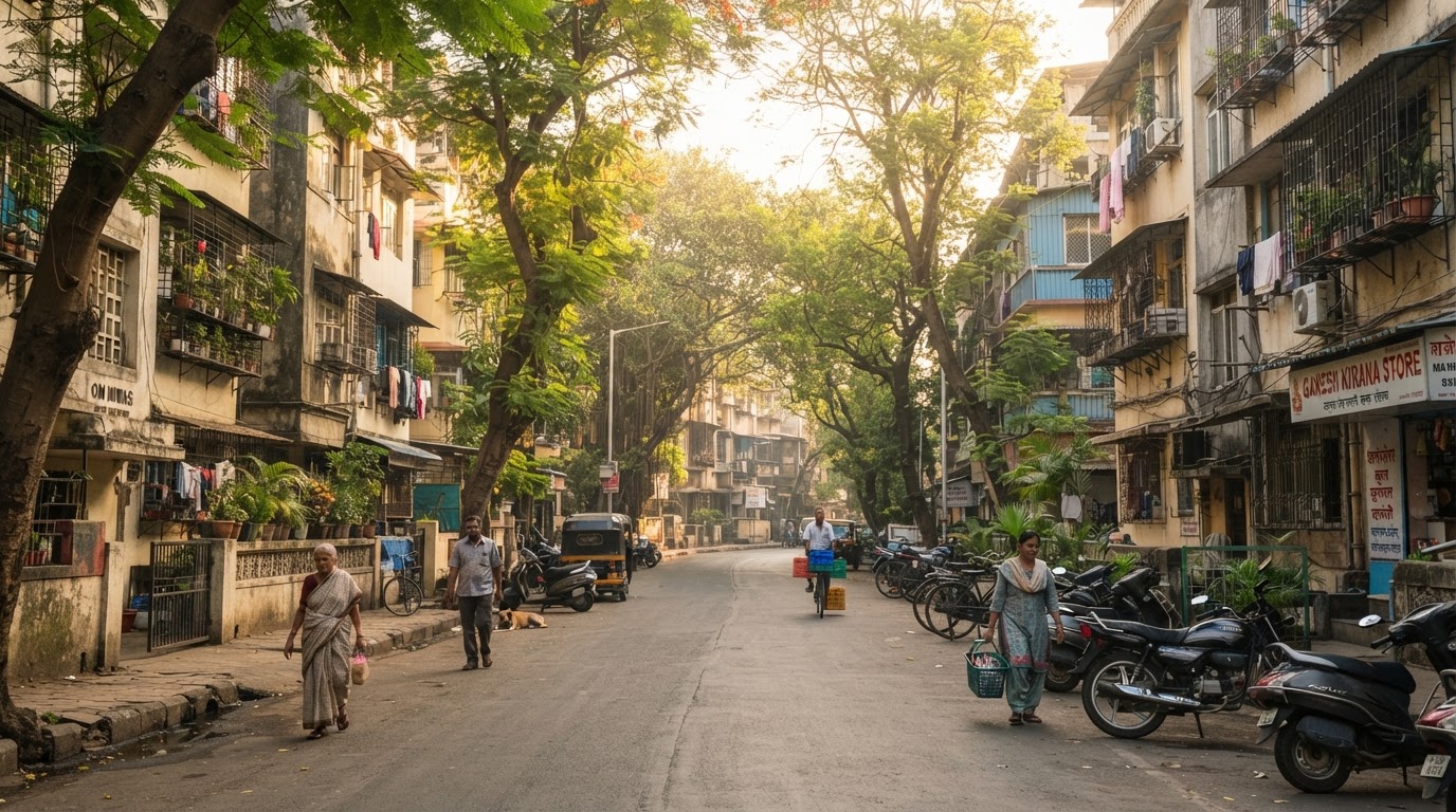
Modern Mira Road is associated with residential buildings, commercial streets and suburban transport. Yet the wider Mira Bhayandar region also has a history connected to rural land uses and coastal geography. Agriculture and salt-related activities formed part of the older landscape described in regional planning and environmental documents. These activities help explain how the area differed from the densely developed suburb residents see today. This article explores that transition while distinguishing documented regional history from details that would require more specialised archival research.
An area shaped by its geography
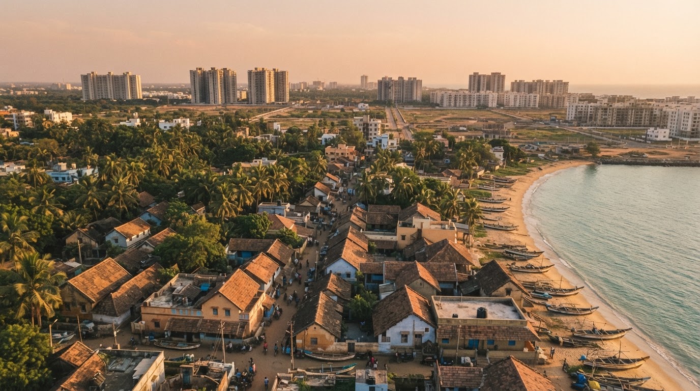
Mira Bhayandar lies within the northern part of the Mumbai Metropolitan Region, where urban development intersects with coastal and creek-side landscapes. The wider region includes settlements, low-lying areas and land influenced by its proximity to the coast. Such geography has historically shaped the activities possible in different locations. Agricultural land, salt-related uses and fishing communities were part of the region's broader economic landscape.
The exact history of each activity varies by location. It would be inaccurate to assume that every part of present-day Mira Road had the same land use or that all settlements depended on the same livelihoods.
Agriculture before large-scale urban development
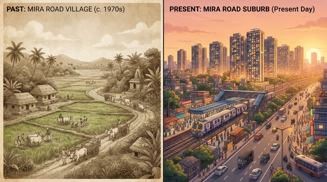
Regional planning and environmental documents describe agriculture as part of the area's earlier rural character, including rice cultivation. Agricultural land formed part of a landscape where settlements were less urbanised than they are today. As the wider metropolitan area grew, demand for residential land and infrastructure increased. Over time, some rural areas experienced changes in land use and development patterns.
These changes did not happen everywhere at the same time. Historical land records and maps would be needed to determine when individual plots changed from agricultural use to other purposes.
The role of salt pans
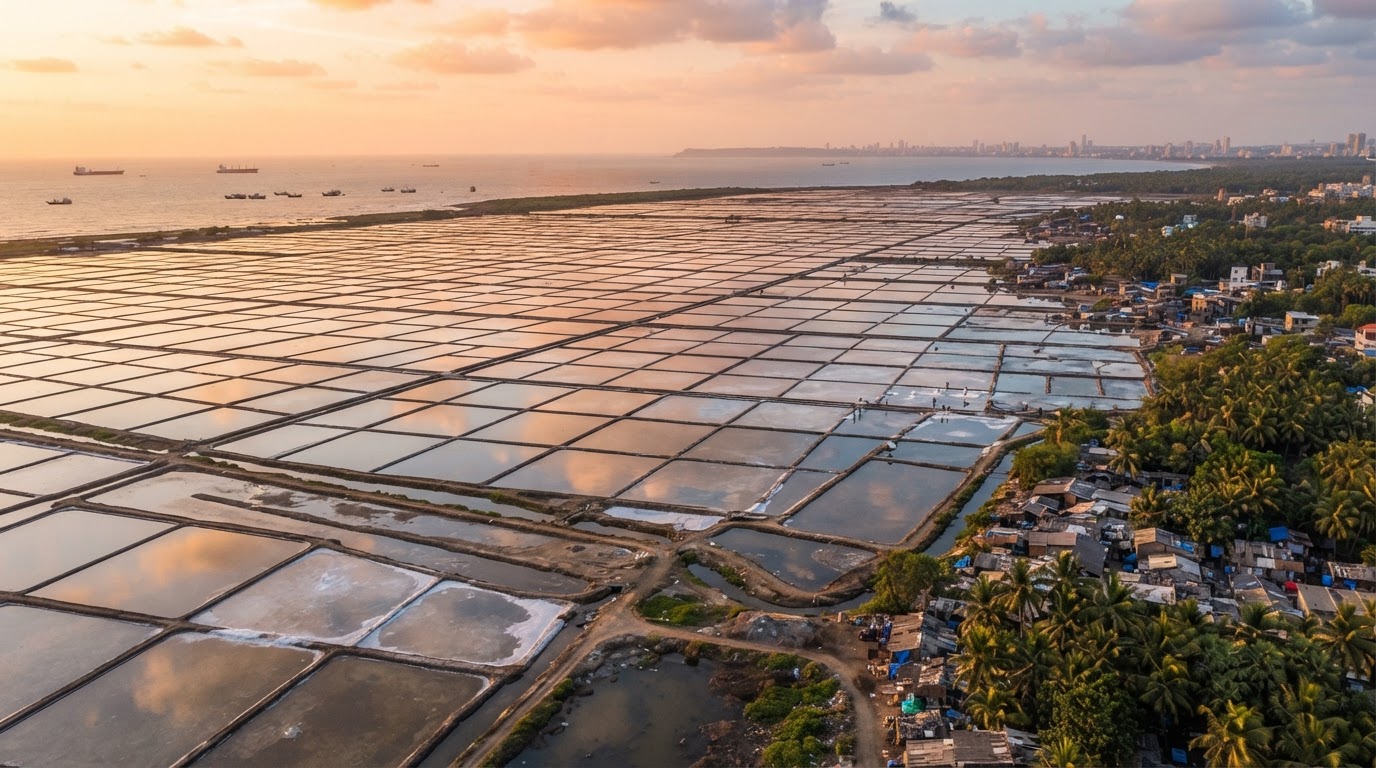
Salt pans are part of the historical and contemporary landscape in portions of the wider Mumbai region. The Mumbai Railway Vikas Corporation's environmental and social assessment for Mira Road station improvements describes land on the western side of the station area as salt lake land at the time of its assessment.
This is an important documented observation about the landscape around the station. It does not, by itself, establish the entire history of salt production in Mira Road or prove that every salt pan in the wider region had the same use. A detailed history would require older land-use maps, revenue records and documents about salt production.
From rural land to urban development
The transformation of land around a growing city can involve several stages. Land may initially support agriculture or another rural activity. Later, planning decisions, infrastructure projects and changing demand can affect how it is used. Some land may be designated for urban development, while other areas may be constrained by environmental conditions, land ownership or planning regulations.
Do not treat all undeveloped land as available for construction. The legal and environmental status of any parcel depends on the relevant records and applicable rules.
Why the old landscape still matters
Older land uses help explain the physical geography of a modern suburb. Low-lying land, salt-related areas, creeks and other landscape features may remain relevant to drainage, transport planning and environmental management. The relationship between urban development and the surrounding environment is therefore part of the region's ongoing history. Residents researching a specific locality should consult current official planning information rather than infer land status from appearance alone.
Environmental history and responsible development
As the metropolitan area grows, decisions about land use can affect both communities and the environment. Planning documents, environmental assessments and public consultation records provide information about these questions. The MBMC Town Planning Department publishes information about development plans and planning responsibilities within the municipal area.
A draft plan is not the same as a final approved plan, and an environmental assessment is not proof that every proposed project was subsequently completed.
How to document the older landscape
MiraRoad.blog could build a local archive by collecting:
- Dated photographs of older open land and salt-related areas.
- Historical maps showing changes in land use.
- Interviews with residents familiar with older agricultural activity.
- Official planning documents and their approval dates.
- Records explaining the history of individual settlements.
Each photograph or oral account should include its source and, where possible, the date and exact location.
Conclusion
The older landscape of Mira Bhayandar provides an important context for understanding the modern suburb. Agriculture, salt-related land uses and village settlements formed part of the region's history before and alongside urban development. Their legacy can still matter when interpreting the landscape and planning for the future. MiraRoad.blog can help preserve this history by combining official land-use records, environmental documents, historical photographs and carefully attributed local memories.
Verified & Curated
Researched from official, named sources
MRVC station-improvement assessment, MBMC Town Planning Department, and the MBMC environmental status report.
Enjoying this story?
Get the best of Mira Road — local news, food finds and weekend plans — straight to your inbox.
Team Mira Road Blog
The editorial team behind MiraRoad.blog — covering local news, food, events and everything Mira Road & Mira Bhayandar, one story at a time.
Frequently asked questions
No. Regional records describe a rural landscape that included village settlements and agricultural land, and some local documentation identifies salt-related land uses.
Historical and technical documents identify salt-related land around the wider region. Current land use should be checked through recent maps and official records.
No. Land use depends on ownership, planning status, environmental constraints and applicable legal requirements.
Made for Mira Road. Built for the community.
Your neighbourhood, one story at a time.
Connected stories
Guides that build on what you just read.