Urban Planning History of Mira Road and Mira Bhayandar
Understand the development plans, municipal milestones and planning decisions that shaped modern Mira Road and Mira Bhayandar.
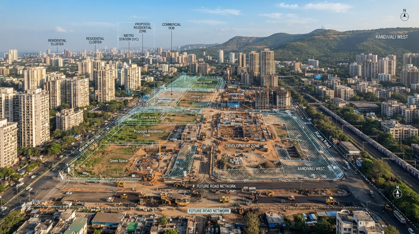
The development of a suburb is not simply a story of buildings being constructed. Roads, public facilities, land-use decisions and administrative boundaries also influence how a place grows. Mira Road and Mira Bhayandar provide an example of this relationship between urbanisation and planning. Official municipal records document several milestones that help explain how the region's planning framework developed.
The need for a coordinated plan
As a region grows, individual developments can create demand for shared infrastructure. Road networks need to connect neighbourhoods, public facilities need to serve residents and utilities need to be planned across a wider area. Without coordination, development can create difficulties involving access, drainage, traffic and the availability of public facilities. Development planning provides a framework for considering these needs across an area rather than looking only at individual buildings.
The 1997 development plan
MBMC's Town Planning Department records that the development plan for Mira Bhayandar's main area, excluding certain areas, was approved on 14 May 1997 and came into effect on 15 July 1997. This is an important formal milestone in the area's planning history.
It does not mean that urban development began in 1997. Rather, it identifies a date when the relevant development plan was approved and brought into effect.
Planning for excluded areas in 2000
The same municipal source records that the development plan for excluded areas was approved on 25 August 2000 and came into effect on 15 October 2000. These separate dates matter because the planning framework did not necessarily apply to every part of the wider municipal area in the same way at the same time. A historical account should preserve that distinction rather than referring to a single approval date as though it covered all land.
The role of the municipal corporation
Mira Bhayandar's municipality was upgraded to a municipal corporation on 28 February 2002, according to the official municipal history. The corporation provides the administrative framework for a broad range of civic and urban-development functions. Town planning is one part of that framework. Other municipal functions, such as water supply, sanitation and public works, also affect how residents experience urban growth.
Revised development planning
Planning documents are periodically revised as population, infrastructure requirements and land-use conditions change. MBMC publishes information about its revised development planning process, including draft documents and notices.
A draft plan is not automatically equivalent to a final approved plan. Readers should check the document's status, publication date and applicable government notifications before drawing conclusions about a particular development.
What development plans can tell residents
Development plans can provide information about the intended pattern of land use and the planning framework for infrastructure. For residents researching a property, they can be a starting point for understanding the wider planning context.
A plan alone is not a substitute for a property title search, legal review or confirmation of current permissions. Before making a property decision, verify the specific plot, applicable regulations and relevant approvals through the appropriate authorities and qualified professionals.
Planning and the environment
Urban planning also involves considering the relationship between development and the surrounding landscape. The wider Mira Bhayandar area includes coastal areas and other environmental features. Planning decisions must be understood alongside the relevant environmental rules and land-use restrictions. It would be inaccurate to assume that every undeveloped parcel is available for construction or that every proposal shown in a draft document will be implemented.
How to research a local planning issue
Start by identifying the exact location and the relevant planning authority. Check whether the document is a draft, an approved plan or a subsequent modification. Record the date and the geographical area covered. If the issue relates to a specific plot, consult the applicable official land and planning records rather than relying solely on a newspaper headline or property advertisement.
Conclusion
The history of urban planning is an important part of the history of Mira Road. The 1997 and 2000 development-plan milestones, followed by later planning changes, provide a documented framework for understanding how the region's development was organised. For residents and property researchers, official planning records are more reliable than assumptions based on a neighbourhood's appearance or an unverified development announcement.
Verified & Curated
Researched from official, named sources
MBMC Town Planning Department, MBMC — About Us, and the Draft Revised Development Plan report.
Enjoying this story?
Get the best of Mira Road — local news, food finds and weekend plans — straight to your inbox.
Team Mira Road Blog
The editorial team behind MiraRoad.blog — covering local news, food, events and everything Mira Road & Mira Bhayandar, one story at a time.
Frequently asked questions
MBMC records 15 July 1997 for the main area covered by the plan, excluding certain areas.
The municipal source records 15 October 2000.
No. The status of the relevant plan and any specific project approvals must be checked separately.
Made for Mira Road. Built for the community.
Your neighbourhood, one story at a time.
Connected stories
Guides that build on what you just read.