Mira Road History Timeline: From Village Settlements to Today
Explore the documented history of Mira Road and Mira Bhayandar through a timeline of municipal formation, development planning and urban growth.
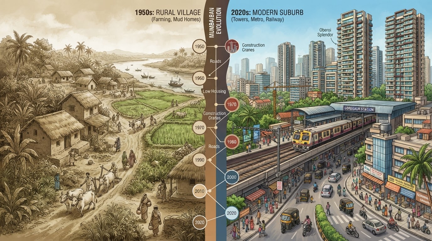
Mira Road has changed significantly as part of the expanding Mumbai Metropolitan Region. The wider area includes older village settlements, municipal institutions, railway infrastructure and modern residential development. A timeline helps bring together the key documented milestones while distinguishing historical facts from developments that require further research.
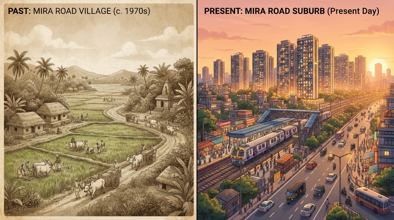
Before modern urbanisation: a region of villages
The wider Mira Bhayandar area developed from multiple village settlements rather than as a single planned suburb. The official municipal history identifies villages including Mira, Bhayandar, Navghar, Kashi and Ghodbunder as part of the settlements involved in the formation of the municipality. Regional planning documents also describe the area's earlier rural character, including agricultural land uses.
The exact dates when individual neighbourhoods began changing from rural to urban land use require historical maps and local land records.
12 June 1985: Mira Bhayandar Municipality is established
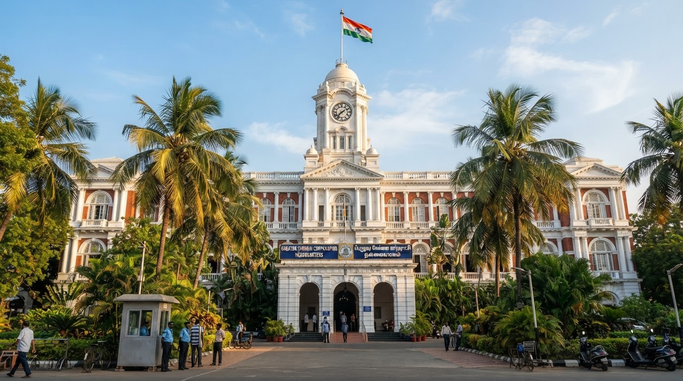
MBMC's official history records the establishment of Mira Bhayandar Municipality on 12 June 1985 through the merger of five village panchayats. This created an important administrative framework for coordinating civic responsibilities across the settlements. It was a milestone in the area's municipal history, although it did not mark the beginning of settlement in the region.
23 January 1990: Additional village panchayats are included
The municipal history records the inclusion of four additional village panchayats on 23 January 1990: Rai-Murdhe, Dongri, Uttan and Versova. This expanded the municipal area and brought more settlements within the same administrative structure.
1991: Development planning moves forward
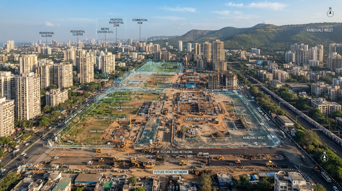
The MBMC revised development-plan report explains that the municipality declared its intention to prepare a development plan in 1991. The report places this initiative within the wider process of planning for urban growth. This is distinct from the later approval date of the development plan.
14 May 1997: Development plan approved for the main area
MBMC's Town Planning Department records that the development plan for the main municipal area, excluding certain areas, was approved on 14 May 1997. The plan came into effect on 15 July 1997. These dates establish a formal planning milestone for the area covered by the plan.
25 August 2000: Development plan approved for excluded areas
The municipal planning record gives 25 August 2000 as the approval date for the development plan covering excluded areas. It came into effect on 15 October 2000. The distinction between the two planning milestones is important because they did not necessarily apply to exactly the same area.
28 February 2002: Mira Bhayandar becomes a municipal corporation
MBMC's official history records 28 February 2002 as the date when the municipality was upgraded to a municipal corporation. This marked another important stage in the region's administrative development.
The 2000s and beyond: continuing urban growth
Mira Bhayandar's location near Mumbai has contributed to its development as a residential part of the metropolitan region. Housing, transport, commercial activity and civic infrastructure have all played roles in the area's changing character.
The exact timing of individual residential projects, neighbourhood expansions and population changes should be established from specific records rather than assigned a single date for the entire suburb.
2007: Special planning authority appointed for certain villages
MBMC's Town Planning Department records that MMRDA was appointed Special Planning Authority for five revenue villages — Mauje-Uttan, Dongri, Chowk, Pali and Tarodi — under a government order dated 1 December 2007. This is a significant planning milestone for those specified areas. It should not be interpreted as meaning that MMRDA became the planning authority for every part of Mira Bhayandar.
2009 and 2020: Changes to development-control rules
MBMC's planning record identifies a government decision dated 29 August 2009 concerning amendments to the approved development-control rules. The same department records approval of integrated development-control and promotion regulations on 2 December 2020 under the applicable Maharashtra planning legislation. These milestones demonstrate that the planning framework continued to evolve after the original development plans came into effect.
2022: Revised development-plan process
MBMC published a Draft Revised Development Plan report covering the 2017–2037 planning period. The document provides historical and planning context for the region and discusses development pressures and the wider metropolitan setting.
Because it is a draft planning document, its proposals should not automatically be presented as final approved policy. The current status of each relevant provision should be checked through official notifications.
What the timeline tells us
The documented milestones show several overlapping processes:
- The integration of village settlements into municipal administration.
- The development of a formal land-use planning framework.
- The transition from municipality to municipal corporation.
- The evolution of planning rules and responsibilities.
- Continued urbanisation connected to the wider Mumbai Metropolitan Region.
These processes helped establish the administrative and planning framework within which modern Mira Road developed. They do not, by themselves, provide a complete account of every neighbourhood's physical transformation. That would require additional historical maps, housing records, railway archives and resident interviews.
Conclusion
Mira Road's history is part of a wider story of settlement, municipal development and metropolitan growth. The documented milestones — from the establishment of the municipality in 1985 to later planning changes — provide a foundation for understanding how the area is administered and developed today. For MiraRoad.blog, this timeline can serve as a starting point for more detailed histories of individual villages, transport infrastructure, historic landmarks and neighbourhoods. As new archival records become available, the timeline should be updated with additional dates, source links and clearly documented local stories.
Verified & Curated
Researched from official, named sources
MBMC — About Us, MBMC Town Planning Department, and the Draft Revised Development Plan report.
Enjoying this story?
Get the best of Mira Road — local news, food finds and weekend plans — straight to your inbox.
Team Mira Road Blog
The editorial team behind MiraRoad.blog — covering local news, food, events and everything Mira Road & Mira Bhayandar, one story at a time.
Frequently asked questions
12 June 1985, according to MBMC's official history.
28 February 2002.
The plan for the main area came into effect on 15 July 1997, while the plan for excluded areas came into effect on 15 October 2000.
No. The cited document is a draft revised development-plan report. Current approval status must be verified separately.
Made for Mira Road. Built for the community.
Your neighbourhood, one story at a time.
Connected stories
Guides that build on what you just read.